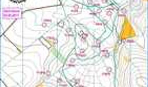
Ski-OL-Karte Rätzteich
- User
- Vorstand SV Lengefeld Contact
- Directories
- SV Lengefeld Kartenarchiv Orienteering Germany Sachsen
- Date:
- 2017-01-01
- Equidistance:
- 5.0
- Map ID:
- GER-SX201702
- Discipline:
- Ski-OL
- Map type:
- Ski-OL Karte
- Map maker:
- Straube, Hanka
- Notes:
Loipengebiet am Rätzteich Marienberg-Gelobtland
