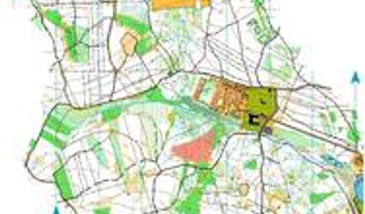
Geyerscher Wald - Nord
- User
- Lücke Contact
- Directories
- Post SV Dresden Kartenarchiv Orienteering Germany Sachsen
- Date:
- 2012-01-01
- Equidistance:
- 5.0
- Map ID:
- GER-SX201202
- Discipline:
- Orientierungslauf
- Map type:
- OL-Karte
- Map maker:
- Michael Schubert / Ludwig Genderjahn
- Notes:
The area is located on a plateau in the Westerzgebirge. The forest is dominated from spruces and beeches and there is mostly a good runability. In some domains there is also undergrowth and thickets. The terrain has been formed from mining activities since the 13th century.
